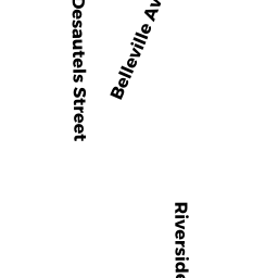
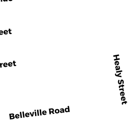
65 WHITMAN ST
Owner Information
SOARES LIBERIO DAS
840 MAIN STREET
ACUSHNET, MA 02743


Property Details
65 WHITMAN ST is classified as a Apartments with Four to Eight Units (4-5 family).
The primary structure on this property was built in 1910. There are 4,080ft2 of built area within this property. There is 4,080ft2 of residential/living space within this property. This property is listed as having 16 rooms. There are 4 units within this property.
65 WHITMAN ST is valued at $259,600. The land is valued at $72,900 and the structures are valued at $186,300. There is an additional valuation of $400 on this property.
This property is in Zone RC. Confirm with local Zoning Board authorities to ensure there are no overlays or other easements on this property.
65 WHITMAN ST was last sold on Tuesday, August 31, 1993 for $88,500.
Assessment data from fiscal year 2021.
Flood Data
According to the FEMA National Flood Hazard Layer, this property does not appear to be in a flood zone. It may also be in an area not yet reviewed. Nonetheless, confirm this information prior to taking any action.
To view the flood hazards around this property, create a FEMA "Firmette" Map of the area around 65 WHITMAN ST.
Broadband Internet Providers
| Provider | Type | Bandwidth (mbps) | |
|---|---|---|---|
| VSAT Systems, LLC. | Satellite | 2 | 1 |
| Viasat Inc | Satellite | 35 | 3 |
| Verizon New England Inc. | DSL | 5 | 0 |
| HughesNet | Satellite | 25 | 3 |
| GCI Communication Corp. | Satellite | 0 | 0 |
| Comcast | Cable | 1000 | 35 |
Broadband service provider data from December 2020.
Adjacent Properties
- 69 WHITMAN ST
Two-Family Residential owned by FURTADO SILVERIO E - 68 EUGENIA ST
Single Family Residential owned by MATHER NANCY A - 66 EUGENIA ST
Single Family Residential owned by MENDOZA DAVID - 60 EUGENIA ST
Single Family Residential owned by DEMEDEIROS CARLOS A - 95 HOPE ST
Three-Family Residential owned by RODERICK ARTHUR